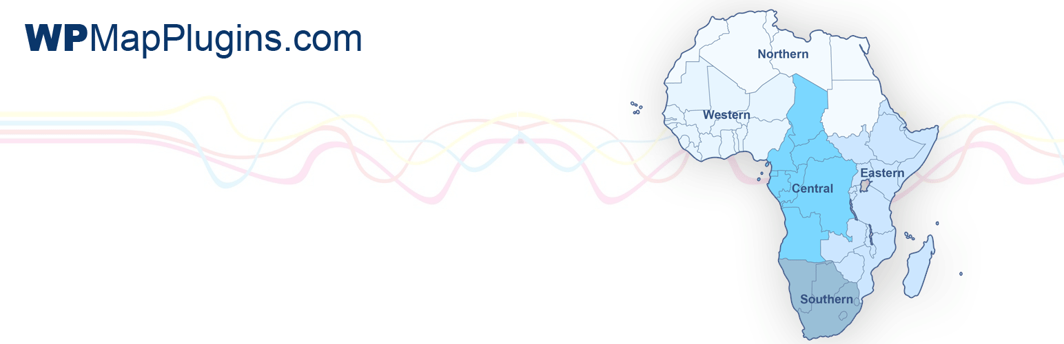
Interactive Regional Map of Africa Security & Risk Analysis
wordpress.org/plugins/interactive-map-of-africaInteractive regional map of Africa WordPress plugin with an easy to use admin panel interface.
Is Interactive Regional Map of Africa Safe to Use in 2026?
Mostly Safe
Score 71/100Interactive Regional Map of Africa is generally safe to use though it hasn't been updated recently. 1 past CVE were resolved.
The "interactive-map-of-africa" v1.0 plugin exhibits a mixed security posture. While it demonstrates good practices by avoiding dangerous functions, performing all SQL queries with prepared statements, and having no file operations or external HTTP requests, significant concerns arise from output escaping and its vulnerability history. The complete lack of output escaping (0% properly escaped) represents a critical risk for Cross-Site Scripting (XSS) vulnerabilities, as any data rendered to the user interface could be manipulated. The taint analysis also indicates a potential issue with unsanitized paths, although it's not classified as a critical or high severity vulnerability.
The plugin's vulnerability history is a major red flag, with one known medium severity CVE that is currently unpatched. The common vulnerability type being Cross-Site Request Forgery (CSRF) suggests that even if code logic is sound, user actions might not be adequately protected. The recent nature of the last vulnerability (2025-06-05) indicates ongoing security challenges. Despite having a small attack surface and no immediately obvious unprotected entry points, the lack of proper output escaping and the unpatched CVE significantly undermine its overall security. Developers should prioritize addressing the unescaped output and the existing CVE to improve the plugin's security.
Key Concerns
- Unescaped output (0% properly escaped)
- Unpatched CVE (medium severity)
- Taint analysis: unsanitized paths
- No nonce checks
- No capability checks
Interactive Regional Map of Africa Security Vulnerabilities
CVEs by Year
Severity Breakdown
1 total CVE
Interactive Regional Map of Africa <= 1.0 - Cross-Site Request Forgery
Interactive Regional Map of Africa Release Timeline
Interactive Regional Map of Africa Code Analysis
Bundled Libraries
Output Escaping
Data Flow Analysis
Interactive Regional Map of Africa Attack Surface
Shortcodes 1
WordPress Hooks 4
Maintenance & Trust
Interactive Regional Map of Africa Maintenance & Trust
Maintenance Signals
Community Trust
Interactive Regional Map of Africa Alternatives
Interactive US Map
interactive-us-map
Interactive US Regional Map WordPress plugin with an easy to use map dashboard.
Interactive US Map – Create Clickable & Customizable U.S. Maps
interactive-map-of-the-us-regions
Create engaging Interactive United States Maps in WordPress for free. It's easy to install, simple, and highly customizable.
Interactive UK Regional Map
interactive-uk-regional-map
Interactive UK regional map WordPress plugin with an easy to use admin panel interface.
Interactive Regional Map of Florida
interactive-map-of-florida
Interactive regional map of Florida WordPress plugin with an easy to use admin panel interface.
Interactive Map of Europe
interactive-map-of-europe
Interactive map of Europe WordPress plugin with countries.
Interactive Regional Map of Africa Developer Profile
7 plugins · 2K total installs
How We Detect Interactive Regional Map of Africa
Patterns used to identify this plugin on WordPress sites during automated security audits and web crawling.
Asset Fingerprints
/wp-content/plugins/interactive-map-of-africa/map-style.css/wp-content/plugins/interactive-map-of-africa/map-interact.js/wp-content/plugins/interactive-map-of-africa/style.css/wp-content/plugins/interactive-map-of-africa/tinyeditor.css/wp-content/plugins/interactive-map-of-africa/js/tinymce.min.js/wp-content/plugins/interactive-map-of-africa/js/scripts.js/wp-content/plugins/interactive-map-of-africa/map-interact.js/wp-content/plugins/interactive-map-of-africa/js/tinymce.min.js/wp-content/plugins/interactive-map-of-africa/js/scripts.jsinteractive-map-of-africa/map-style.css?ver=interactive-map-of-africa/map-interact.js?ver=interactive-map-of-africa/style.css?ver=interactive-map-of-africa/tinyeditor.css?ver=interactive-map-of-africa/js/tinymce.min.js?ver=interactive-map-of-africa/js/scripts.js?ver=HTML / DOM Fingerprints
afr_map_admin_cssid="tipafr"id="wpurl"var AFRMAP_VERSION =var AFRMAP_DIR =var AFRMAP_URL =var afr_map_options =<div class="afr_map_admin_css">